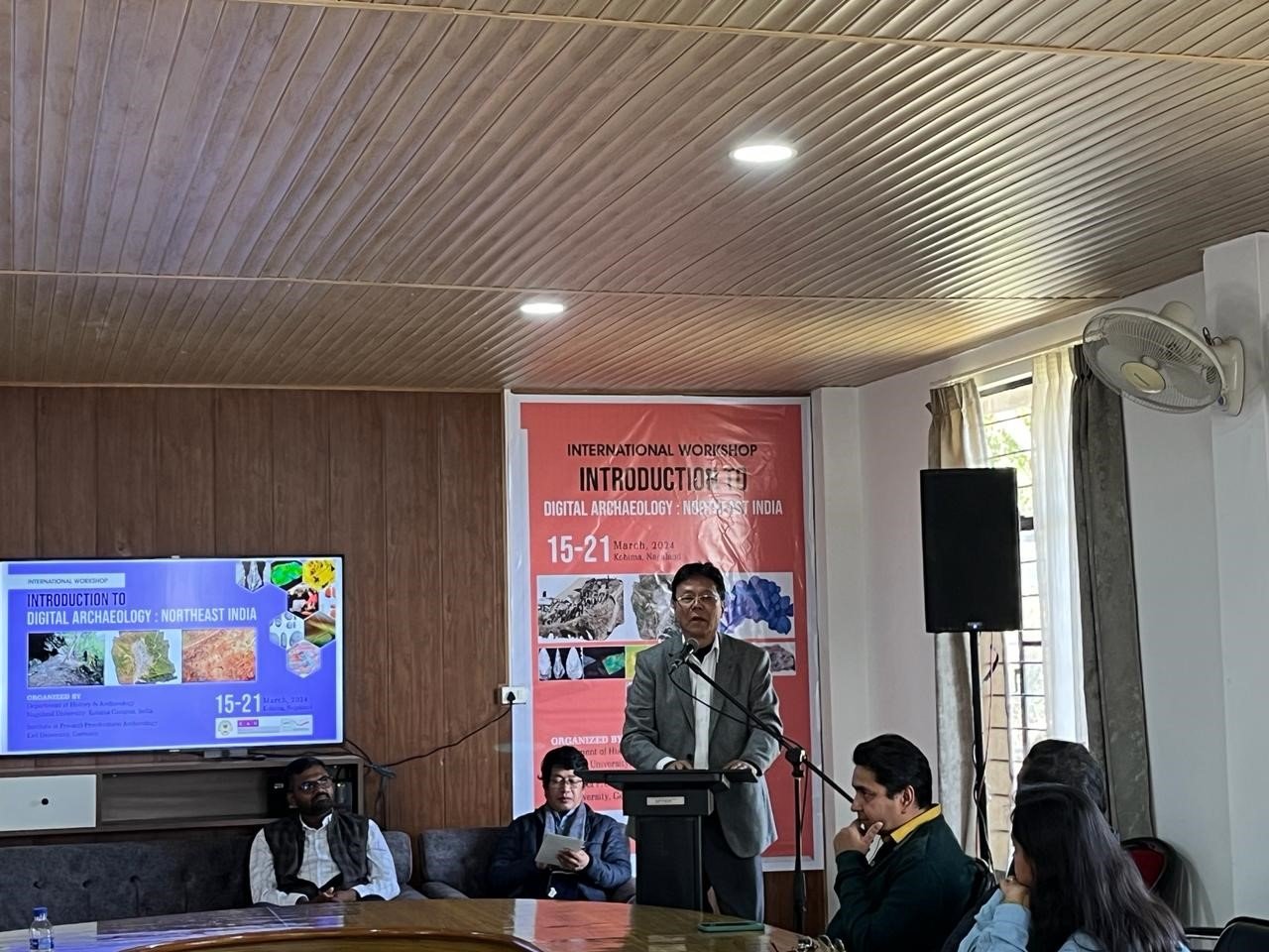
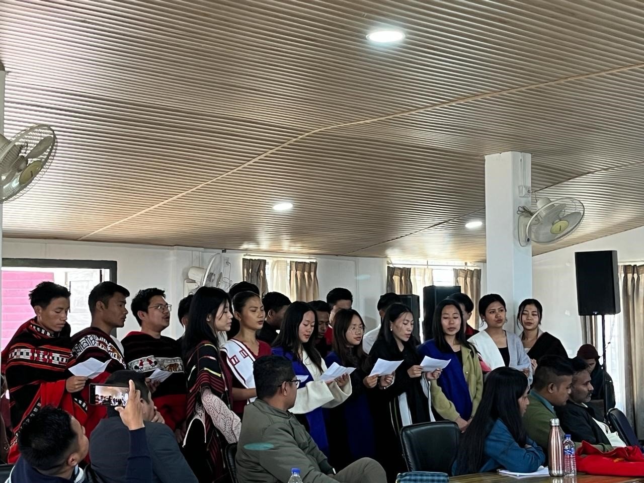
The Department of History & Archaeology, Nagaland University, Kohima Campus inaugurated the seven day International Workshop “Introduction to Digital Archaeology: Northeast India” today .
The program was organised by the Department of History & Archaeology, Nagaland University: Kohima Campus, India and the Institute of Pre-and-Protohistoric Archaeology, Kiel University, Germany.
Digital archaeology refers to the applications of digital technology to archaeology. Various digital methods and tools employed by archaeologists have led to innovative practices. Drone photography, GIS database generation, 3D modelling, etc. are now being commonly used in archaeological surveys.
Prof. G.T Thong, Pro -Vice Chancellor Nagaland University, Kohima Campus in his speech mentioned that Digital technology is used to conduct archaeological surveys by allowing the collection of data, but without destroying or damaging archaeological sites and the cultural heritage they hold. “This helps preserve archaeological data. Using digital data, many archaeological sites were discovered at various depths below the surface. Applications of digital technology have aided the reconstruction of historical monuments and artefacts, such as pottery, human fossils, and mummified remains. The use of digital and information technology in archaeological studies has greatly enhanced the documentation of archaeological data,” said Prof. Thong.
He also highlighted the number of tools for such reconstructions such as remote sensing, LiDAR, an acronym for Light Detection and Ranging, Geographic Positioning Systems and Total Station Theodolites
Remote sensing, preferably aerial photography, is one such tool used to discover and document archaeological sites, as aerial photographs are generally of higher resolution than satellite imagery. “Aerial photographs are being increasingly used to enhance the details of archaeological sites and map composite features. This enables the creation of a geographical framework, which allows the generation of maps along with geomorphic features. This application offers a non-invasive means for archaeological research,” stated Prof. Thong. The documentation of archaeological sites through aerial remote sensing techniques involves digital cameras to collect numerous black/white or colour photos of chosen archaeological sites. The images are imported into GIS software to be manipulated to generate highly reliable results. Large volumes of data from archaeological research can be collected and stored in the archives.
LiDAR, an acronym for Light Detection and Ranging, is an active remote sensing method that uses rapid light pulses fired from a near-infrared laser to make measurements. According to Prof. Thong, the data is transformed into 3D models of the terrain. LiDAR can be used to map height, density, and other characteristics of regions. Attaching a LiDAR laser-based scanner to a drone, any environment can be surveyed to produce highly precise 3D maps. LiDAR is preferred for archaeological surveys due its speed, accuracy, and accessibility to difficult terrain.
Download Nagaland Tribune app on Google Play

LiDAR collects a million points of data per second, making it one of the fastest surveying methods available. “This data can produce highly detailed maps of large areas in a few days. Because LiDAR collects so many data points, its 3D maps are highly precise. As LiDAR hardware is operated remotely, it is perfect for difficult terrain. Moreover, sensitive environments will not be impacted or harmed. The need for manual labour too is removed,” informed Prof. Thong.
Geographic Positioning Systems and Total Station Theodolites are extensively used for surveying. GPS data can be transferred to a computer. Total Stations can be connected to computers to measure distances electronically for accurate analyses of archaeological sites. This allows distances of archaeological parameters to be documented, and maps generated.
He added that this was conducted using infrared beams to record measurements of archaeological sites, which allows the mapping of landscapes.
3D modelling involves satellite imaging or aerial photography to construct 3D models of the geography, architecture, and archaeological findings of historical sites. Computers and GIS software allow for large amounts of images to be collected and processed, thereby enhancing the texture of the 3D models.
Geographic Information Systems (GIS) are used to document and analyse spatial data of archaeological sites. The use of a GIS involves in-field analysis and collection of archaeological and environmental data from digital data. GIS allows the processing of data to recreate landscapes of archaeological sites through spatial analysis, and store the data in archives. The use of digital methods has enhanced the ability of archaeologists to analyse the geography and spatial relationships of ancient archaeological sites.
Data from existing maps, drone photography, and Google Earth images allow the reconstruction of archaeological features. Correcting the images for errors and distortion, and georeferencing the data enable the generation of 3D models. Therefore, archaeologists are able to accurately reconstruct 3D models of monuments, cultural heritage sites, and archaeological architecture, even for places that are inaccessible. Digital technology allows greater amounts of data to be collected for archaeological surveys.
“Archaeologists of NE India are less exposed to digital methods than their counterparts from the other parts of the country, although noteworthy archaeological research is going on in the region,” viewed Prof. Thong. With the use of digital methods, he expressed optimism that research will be enhanced.
During the inaugural, Jangkhomang Guite chaired the program while the welcome address was earlier pronounced by Tiatoshi Jamir. R.Chumbemo Ngullie pronounced the vote of thanks.