Nagaland GIS & Remote Sensing Centre organised a one-day technical workshop attended by officials of the Directorate of Census Operations, Nagaland.
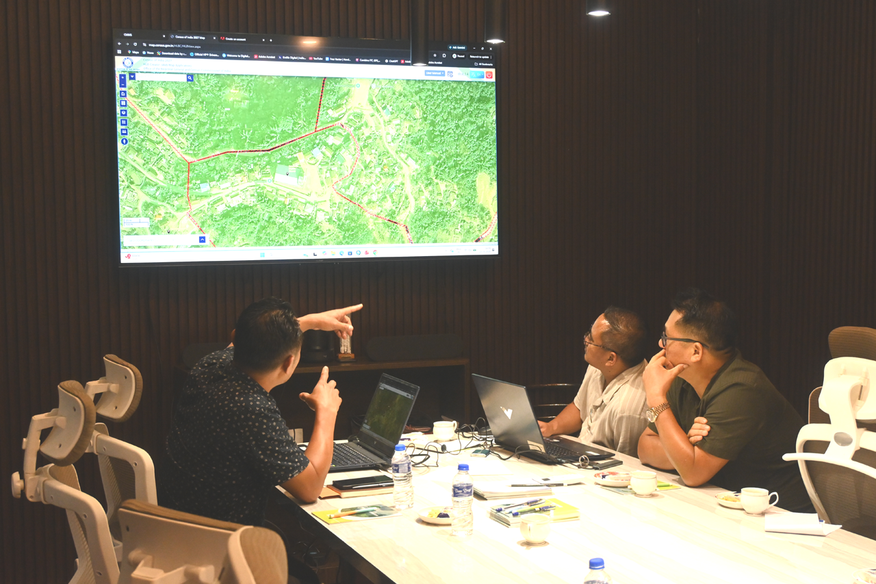
Opening the session, Mhathung Kithan, Senior Project Director stated that the Centre possesses over 350 map layers of the State. He informed that maps of all villages and urban local bodies have been georeferenced and digitized.
Emphasizing the importance of GIS tools in ensuring greater accuracy in Census operations, Kithan stated that detailed mapping of every household can be carried out using the latest GIS technologies and UAV imagery.
He further added that the Nagaland GIS & Remote Sensing Centre is an A+ rated institute and is expected to become a licensed training institute for UAV drone pilots in the coming weeks.
Sanen, Data Manager, provided an overview of the database maintained by the Centre, while Atho-o Kesiezie, UAV Engineer, showcased some of the Centre’s major projects and achievements. The officials also visited the Drone Centre of Excellence, where demonstrations on 3D printing of drone parts, drone assembly units, and training facilities were conducted.
Download Nagaland Tribune app on Google Play


Mhathung, Assistant Director, Directorate of Census Operations, Nagaland, demonstrated the use of technology in India’s first digital Census and stated that the department would require significant technical support from the Centre in the coming months. Both departments agreed to explore avenues for future cooperation and collaboration.
The session also witnessed discussions on urban and rural mapping, as well as the application of artificial intelligence in mapping and spatial analysis.