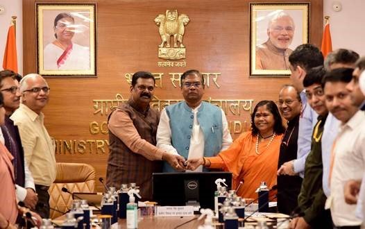
The Ministry of Rural Development on Tuesday launched a mobile application that will enable gram rojgar sahayaks to measure the water level of selected wells twice a year — before and after the monsoon.
The Jaldoot app was jointly by Ministry of Rural Development and Panchayati Raj.
In a statement, the ministry said an adequate number of measurement locations will be selected in every village and these will be representative of the ground water level there.
This app will be used across the country to capture the water level of two or three selected wells in a village. Manual monitoring of water levels in open wells will be done twice a year – pre-monsoon and post-monsoon – according to the statement.
Jaldoots, the personnel assigned to measure water level, will upload the geo-tagged photographs through the app on every occasion of measurement, the ministry said.
The app will facilitate panchayats with robust data which can be further used for better planning of works. The ground water data could be utilised as part of the Gram Panchayat Development Plan and MGNREGA planning exercises, it said.
.#Jaldoot App has been launched by @MoRD_GoI to capture the water level of selected wells in villages across the country 🇮🇳
This app will provide panchayats with reliable data that can be utilised to further improve work planning
Have a look at this video👇 pic.twitter.com/gmKzYNmXUB
— Ministry of Information and Broadcasting (@MIB_India) September 27, 2022